
The Whithorn Way
Route Guide
Detailed descriptions of all 13 stages from Glasgow Cathedral to the Isle of Whithorn, with OS map references, practical notes, and digital map links for each stage.
Total distance
146 miles
Stages
13
Start
Glasgow Cathedral
Finish
Isle of Whithorn
Wayfinding
Route Signage
The Whithorn Way passes through five council areas, each of which has shown immense support for the route. Each council has chosen a style of signage that suits its own landscape and character.
These are the types of signage you are likely to encounter on your journey to Whithorn.
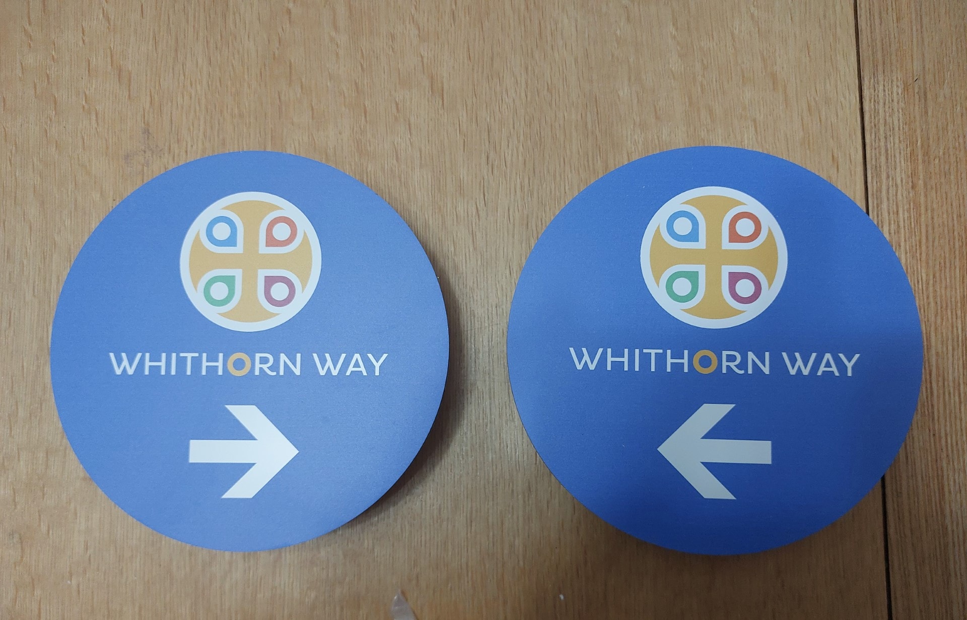
Roundel Signs
Blue circular roundels with the Whithorn Way logo and directional arrows, used in urban and suburban areas.
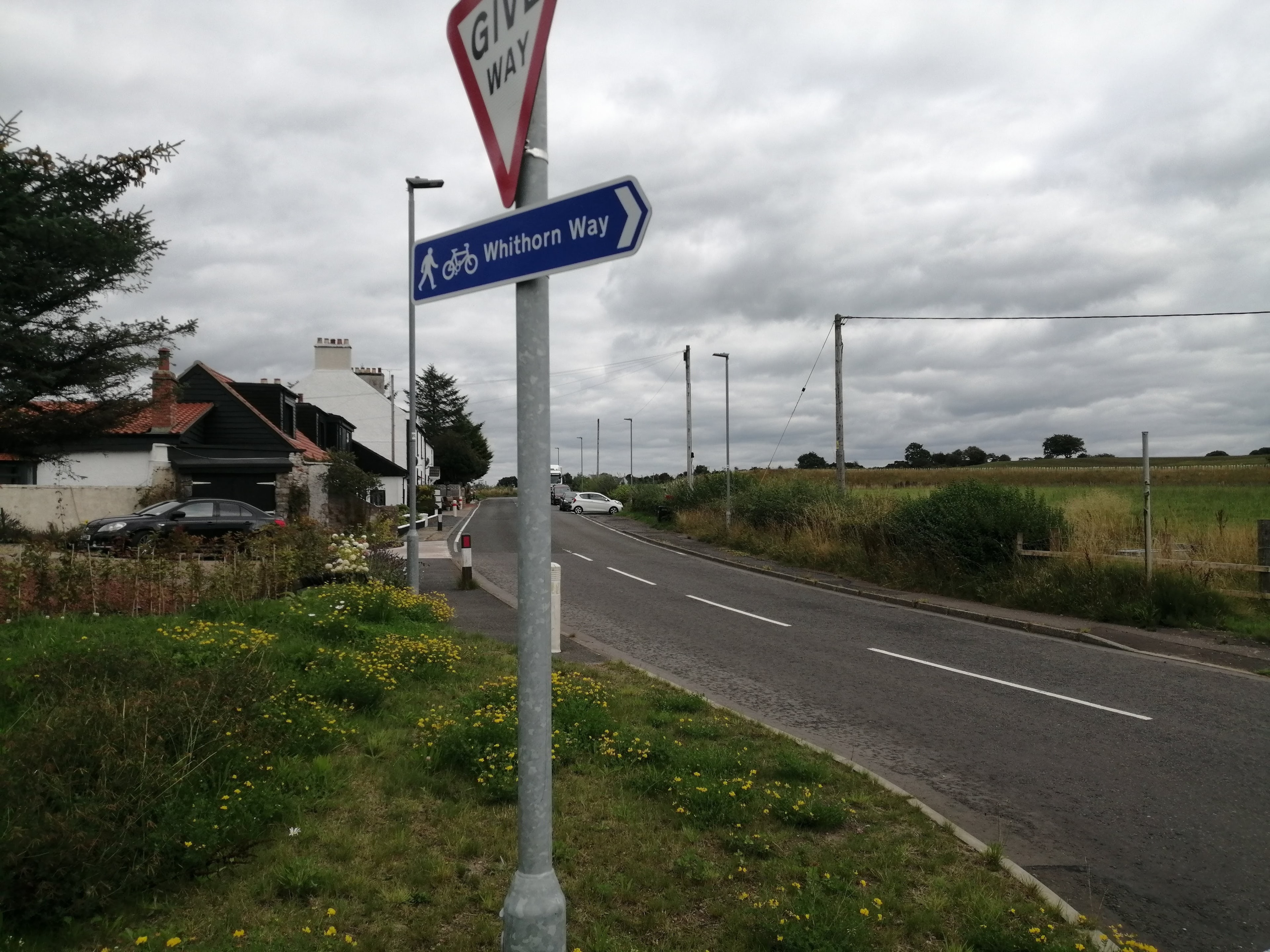
Road Finger Posts
Blue finger post signs mounted on roadside poles, clearly marking the route for both walkers and cyclists.
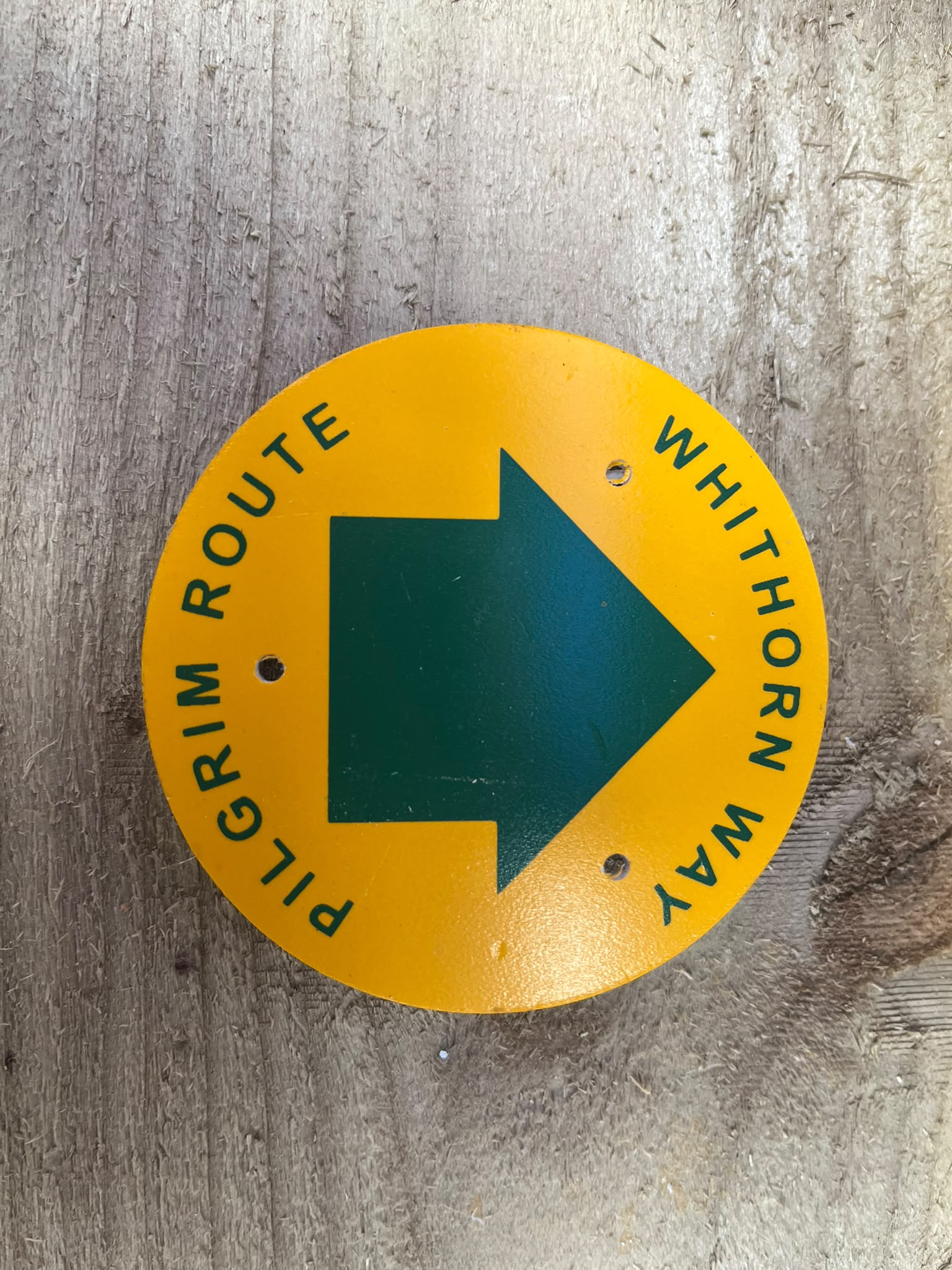
Rural Pilgrim Markers
Yellow circular discs with a green directional arrow, used on rural paths and tracks through the Galloway countryside.
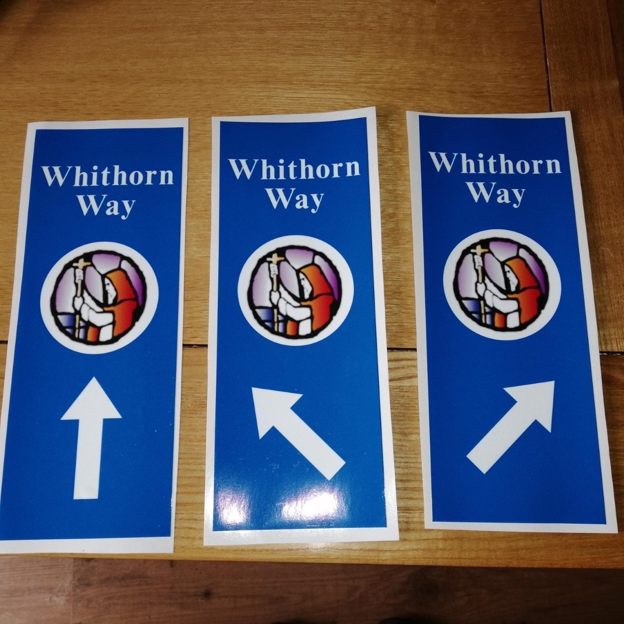
Adhesive Waymarkers
Small adhesive markers affixed to existing posts and infrastructure, used where larger signage is not possible.
Stage by stage
All 13 Stages
Click any stage to expand the full description, practical notes, and digital map links.
Need the maps too?
View the seven OS Explorer maps covering the full route, plus the OS Maps app and official guidebook.